
Fighting cross-border fraud: Beninese and Nigerian customs join forces through GEOCONTROL technology.
The customs administrations of Benin and Nigeria are taking a decisive step in securing their shared borders.

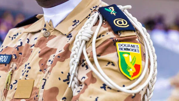
Following a strategic meeting held in the ECOWAS conference room at the Sèmè-Kraké border post, the two countries have officially agreed to pool their expertise and operationalize the “GEOCONTROL” mechanism.
Initiated under the auspices of the World Customs Organization (WCO), this solution relies on the use of advanced geospatial data and satellite imagery. The application allows for the precise identification of vulnerable crossing points along the border, anticipates the routes taken by smugglers, and strategically directs surveillance patrols.
During the discussions, the customs controller of the Seme area, Abdullahi Kaila, and the head of the geospatial department of the Nigerian customs, Deputy Controller Labaran Ahmed, highlighted the innovative significance of this tool.
Thanks to geospatial intelligence and real-time data sharing, intervention teams benefit from an enhanced capacity to combat smuggling while ensuring the smooth flow of legal trade on one of the most active corridors in the sub-region.
Comments