
Togo: Dussey denies that ‘Correct the Map’ serves Russia
Adopted by 164 states, the text advocated by Lomé encourages projections that respect area sizes without altering borders. However, Tokyo contests an Equal Earth map regarding the Kuril Islands.

Togolese Foreign Minister Robert Dussey rejected any interpretation on Wednesday, September 23, suggesting that the resolution “Correct the Map,” presented by Togo at the UN, would favor Russia’s territorial interests. He emphasized that the text pertains to the representation of areas and does not alter any borders.
Adopted on September 4 by the United Nations General Assembly, resolution A/RES/80/297 received 164 votes in favor, one against, and six abstentions. It encourages the use of equal-area projections, such as Equal Earth, when accurately representing the relative sizes of continents.
The controversy is linked to a map published on the Equal Earth website. The Japanese government has requested its correction because the four islands it claims north of Hokkaido appeared in the same color as Russia. Moscow administers these territories, which Tokyo refers to as the Northern Territories.
In an interview with France 24 on the sidelines of the General Assembly in New York, Robert Dussey distinguished this territorial dispute from the choice of a cartographic projection. The adopted text specifies that it does not affect the delimitation, status, or recognition of internationally recognized borders.
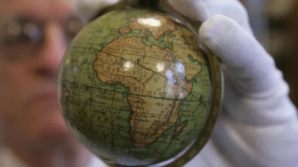
Presented by Togo on behalf of the African Group, the initiative aims to correct the distortions of the Mercator projection, which enlarges regions near the poles and visually diminishes Africa’s size. Equal Earth maintains the proportions of areas without being imposed as the sole projection for all uses.
Comments